Real-Time Dam Levels
Across Australia

Track water storage, capacity and historical trends for major reservoirs in New South Wales, Victoria, Queensland and beyond.

57.3% National average
303 Dams tracked
87,729 GL Total capacity
06 Jun 2026 Last Updated
Lake Paluma Water Level

Lake Paluma Water Level

Queensland · Unknown
Reviewed by Water Resources Analyst
Hydrological Summary: Lake Paluma currently stores 100% of its total 12 GL capacity. Located in QLD and operated by Townsville City Council, it is a critical water source for regional supply and irrigation.
Data officially sourced and updated from Queensland water authorities. Last dataset update: 2026-06-03 20:00:00
Current Storage Level 100%
Total Capacity
12 GL
Status
Normal / Safe
Operator
Townsville City Council
Last Updated
03 Jun 2026
Live Weather
17°C Partly cloudy
Rain: 0mm | Hum: 28%

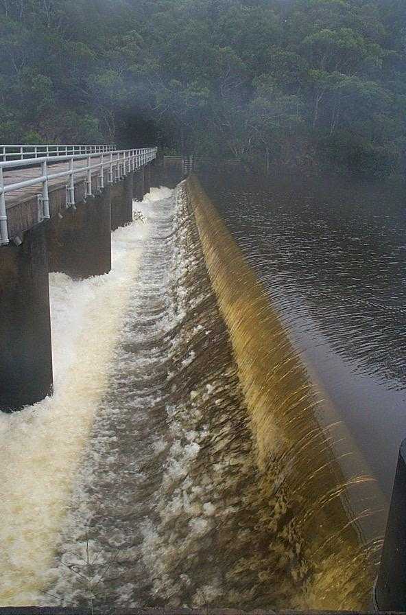
Water Level Analysis

Water levels at Lake Paluma remain exceptionally high. Standing at an impressive 100%, the total volume sits at 12 GL. This near-full status guarantees strong water availability for local communities and agriculture.

Catchment & Hydrological Impact

The Swamp Creek acts as the primary lifeblood for Lake Paluma, making it a cornerstone of the North East Coast network. Hydrological health in this specific drainage basin is vital for downstream ecosystems. The North East Coast region relies heavily on the seasonal inflows captured here.

Agricultural & Economic Significance

Agriculture in the surrounding areas of Queensland depends heavily on the water security provided by Lake Paluma. Farmers and agribusinesses monitor these levels closely to plan their seasonal crop yields. Without the buffer provided by this massive 12 GL storage, regional farming would face extreme volatility.

Ecological & Recreational Context

The surrounding catchment of Lake Paluma also supports diverse local flora and fauna. When capacity allows, Lake Paluma becomes a hub for regional tourism and water sports. However, environmental flow releases must be carefully balanced to protect downstream river health.

Current Weather & Evaporation Impact

The weather around the catchment is currently recording 17°C. Under current partly cloudy weather, there is no direct rainfall contributing to the immediate storage levels.

Future Outlook & Monitoring

The Bureau of Meteorology's climate outlooks will play a pivotal role in predicting the future inflows for this catchment. Continuous telemetry and advanced hydrological modeling are employed to forecast storage changes. Resilience against extreme weather events remains the ultimate goal for the managers of this critical infrastructure.

Location Map

Frequently Asked Questions

What is the current water level of Lake Paluma?
As of the latest official reading, the water level at Lake Paluma is at 100% of its total capacity.
Is Lake Paluma currently full?
Yes, Lake Paluma is virtually full at 100%.
What is the maximum water capacity of Lake Paluma?
When completely full (100%), Lake Paluma can hold up to 12 Gigalitres (GL) of water.
Where is Lake Paluma located?
This reservoir is a critical water storage facility located in the state of Queensland, Australia.
How does the water level at Lake Paluma affect local agriculture?
Water levels dictate the irrigation allocations for surrounding farmlands. A healthy level of 100% ensures that local farmers have the necessary water security for their seasonal crops and livestock.
Who manages the data for Lake Paluma?
The data is sourced from official government authorities including the Bureau of Meteorology (BOM) and specific state water utilities.

Nearby Dams in Queensland

Largest Reservoirs in Queensland

Latest Water & Drought News

← Back to all dams