Real-Time Dam Levels
Across Australia

Track water storage, capacity and historical trends for major reservoirs in New South Wales, Victoria, Queensland and beyond.

57.3% National average
303 Dams tracked
87,729 GL Total capacity
06 Jun 2026 Last Updated
Wivenhoe Water Level

Wivenhoe Water Level

Queensland · Brisbane
Reviewed by Water Resources Analyst
Hydrological Summary: Wivenhoe currently stores 87.2% of its total 1,165 GL capacity. Located in QLD and operated by Seqwater, it is a critical water source for regional supply and irrigation.
Data officially sourced and updated from Queensland water authorities. Last dataset update: 2026-06-04 10:04:08
Current Storage Level 87.2%
Total Capacity
1,165 GL
Status
Normal / Safe
Operator
Seqwater
Last Updated
04 Jun 2026
Live Weather
19°C Clear sky
Rain: 0mm | Hum: 45%

Water Level Analysis

Wivenhoe is currently maintaining very healthy storage levels. At 87.2% capacity, the facility is holding 1,165 GL of water. The local water grid benefits significantly from this stable storage level.

Catchment & Hydrological Impact

The Brisbane River acts as the primary lifeblood for Wivenhoe, making it a cornerstone of the North East Coast network. Hydrological health in this specific drainage basin is vital for downstream ecosystems. Catchment dynamics in the North East Coast are deeply influenced by the retention capacity of Wivenhoe.

Agricultural & Economic Significance

Beyond standard municipal supply, Wivenhoe is a vital asset for the regional agricultural economy in Queensland. The local economy, heavily rooted in agriculture, fluctuates in tandem with the health of this reservoir. Sustainable water management here ensures that both crops and livestock can survive prolonged dry spells.

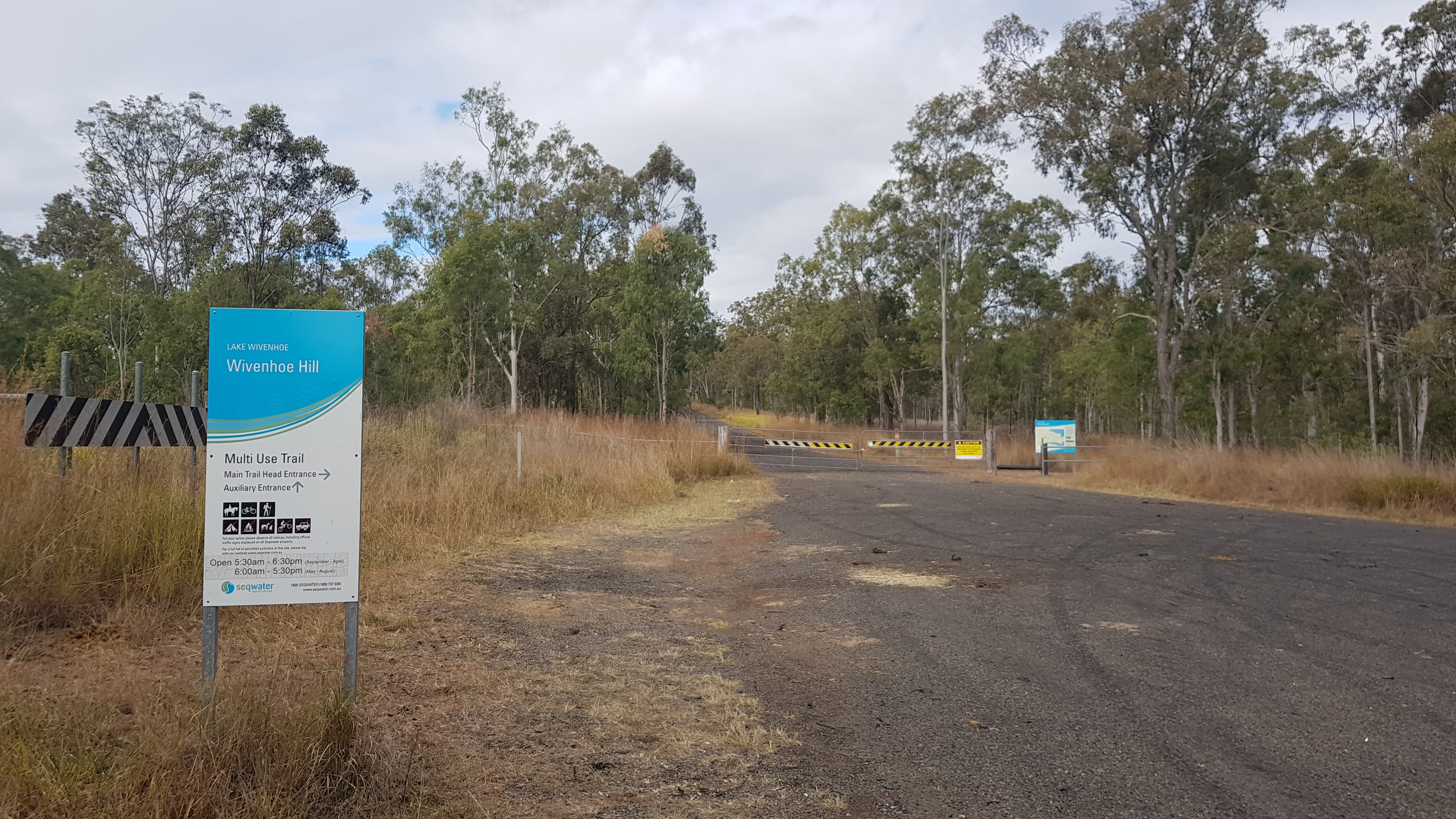
Ecological & Recreational Context

The surrounding catchment of Wivenhoe also supports diverse local flora and fauna. During periods of healthy water levels, the area often sees an increase in recreational activities such as fishing, boating, and camping. However, environmental flow releases must be carefully balanced to protect downstream river health.

Current Weather & Evaporation Impact

The weather around the catchment is currently recording 19°C. Under current clear sky weather, there is no direct rainfall contributing to the immediate storage levels.

Future Outlook & Monitoring

The Bureau of Meteorology's climate outlooks will play a pivotal role in predicting the future inflows for this catchment. State water authorities utilize highly sophisticated monitoring tools to ensure every drop is accounted for. Resilience against extreme weather events remains the ultimate goal for the managers of this critical infrastructure.

Location Map

Frequently Asked Questions

What is the current water level of Wivenhoe?
As of the latest official reading, the water level at Wivenhoe is at 87.2% of its total capacity.
Is Wivenhoe currently full?
It is partially full, currently holding steady at 87.2%.
What is the maximum water capacity of Wivenhoe?
When completely full (100%), Wivenhoe can hold up to 1,165 Gigalitres (GL) of water.
Where is Wivenhoe located?
This reservoir is a critical water storage facility located in the state of Queensland, Australia.
How does the water level at Wivenhoe affect local agriculture?
Water levels dictate the irrigation allocations for surrounding farmlands. A healthy level of 87.2% ensures that local farmers have the necessary water security for their seasonal crops and livestock.
Who manages the data for Wivenhoe?
The data is sourced from official government authorities including the Bureau of Meteorology (BOM) and specific state water utilities.

Nearby Dams in Queensland

Largest Reservoirs in Queensland

Latest Water & Drought News

← Back to all dams