Water Level Analysis
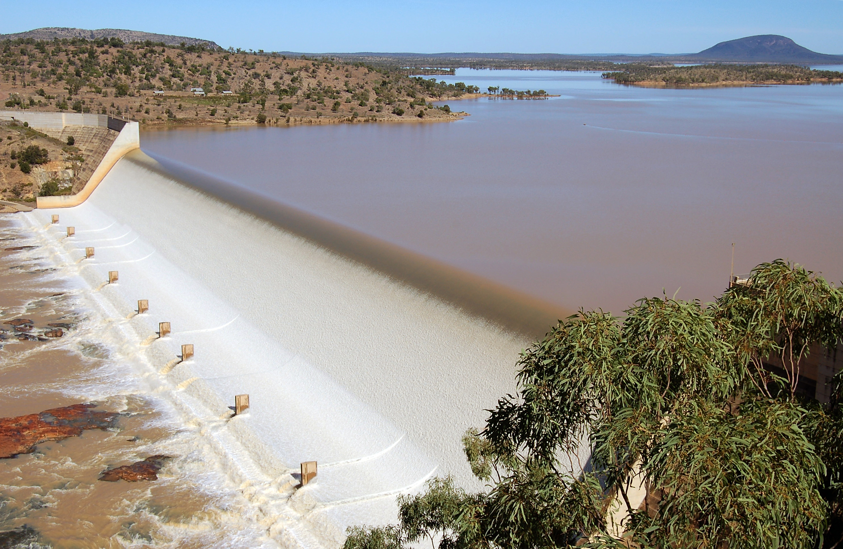
Water levels at Burdekin Falls remain exceptionally high. With current readings at 98.4%, the reservoir holds a robust 1,860 GL. This provides immense water security for the Queensland region.
Catchment & Hydrological Impact
The Burdekin River acts as the primary lifeblood for Burdekin Falls, making it a cornerstone of the North East Coast network. Hydrological health in this specific drainage basin is vital for downstream ecosystems. The North East Coast region relies heavily on the seasonal inflows captured here.
Agricultural & Economic Significance
Agriculture in the surrounding areas of Queensland depends heavily on the water security provided by Burdekin Falls. The local economy, heavily rooted in agriculture, fluctuates in tandem with the health of this reservoir. Sustainable water management here ensures that both crops and livestock can survive prolonged dry spells.
Ecological & Recreational Context
The surrounding catchment of Burdekin Falls also supports diverse local flora and fauna. During periods of healthy water levels, the area often sees an increase in recreational activities such as fishing, boating, and camping. However, environmental flow releases must be carefully balanced to protect downstream river health.
Current Weather & Evaporation Impact
Current local temperatures are sitting at a moderate 20°C. With 0mm of recent rainfall and partly cloudy skies, the catchment is relatively dry today.
Future Outlook & Monitoring
The Bureau of Meteorology's climate outlooks will play a pivotal role in predicting the future inflows for this catchment. Continuous telemetry and advanced hydrological modeling are employed to forecast storage changes. Resilience against extreme weather events remains the ultimate goal for the managers of this critical infrastructure.