Water Level Analysis
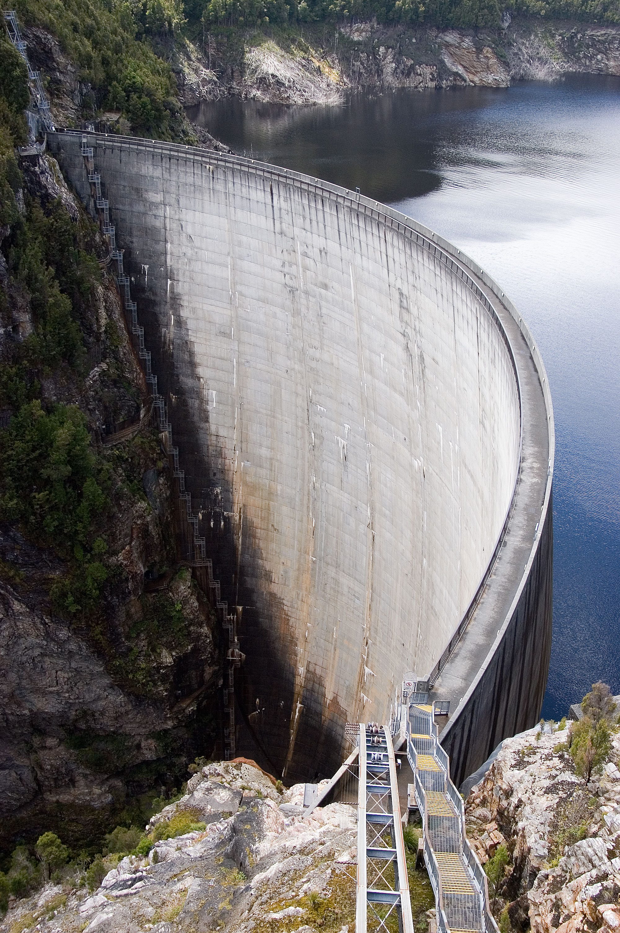
The storage situation at Gyranda Weir remains highly stable. At 77.5% capacity, the facility is holding 17 GL of water. This volume provides a solid foundation for both urban and agricultural demands across Queensland.
Catchment & Hydrological Impact
Fed primarily by the Dawson River, this reservoir plays a critical role in the North East Coast drainage division. Hydrological health in this specific drainage basin is vital for downstream ecosystems. Catchment dynamics in the North East Coast are deeply influenced by the retention capacity of Gyranda Weir.
Agricultural & Economic Significance
Beyond standard municipal supply, Gyranda Weir is a vital asset for the regional agricultural economy in Queensland. Irrigation allocations are directly tied to these storage metrics. Without the buffer provided by this massive 17 GL storage, regional farming would face extreme volatility.
Ecological & Recreational Context
Ecologically, the reservoir and its immediate wetlands serve as a crucial habitat for native Australian wildlife. When capacity allows, Gyranda Weir becomes a hub for regional tourism and water sports. Authorities must constantly balance the need for human water consumption with the ecological necessity of maintaining healthy river systems downstream.
Current Weather & Evaporation Impact
Current local temperatures are sitting at a moderate 16°C. Currently experiencing clear sky conditions with no immediate precipitation, inflows remain entirely dependent on upstream river movement.
Future Outlook & Monitoring
Looking ahead, the trajectory of Gyranda Weir's water levels will depend heavily on upcoming seasonal rainfall patterns. Continuous telemetry and advanced hydrological modeling are employed to forecast storage changes. Given the unpredictable nature of Australia's climate, from La Niña flooding to El Niño droughts, maintaining a dynamic operational strategy for Gyranda Weir is absolutely essential.