Water Level Analysis
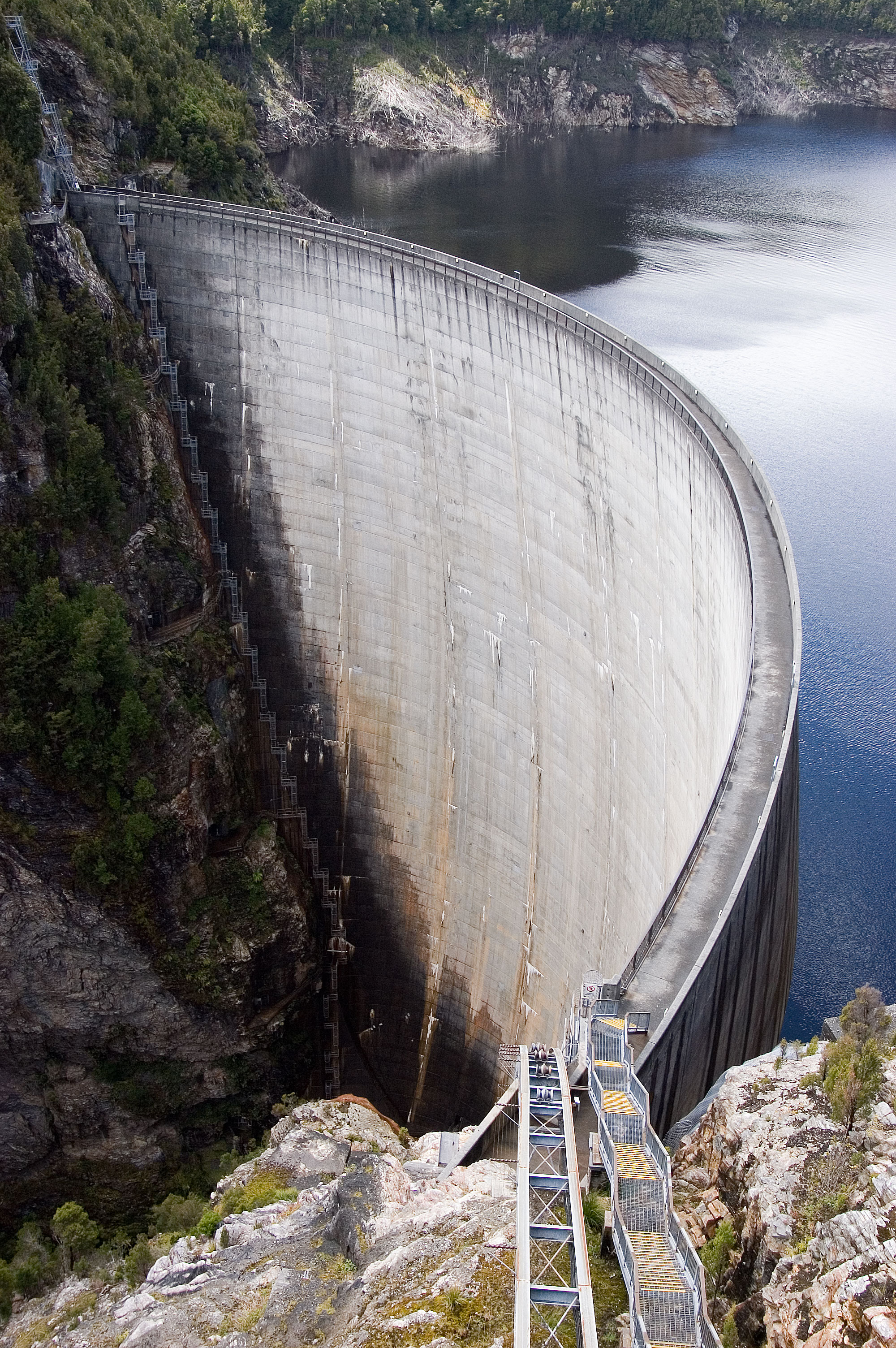
Clare Weir is currently facing severe depletion. Currently at only 0% of its 16 GL capacity, the situation requires urgent monitoring. Extended drought conditions or lack of significant inflows into the catchment are likely the primary drivers of this severe depletion.
Catchment & Hydrological Impact
Fed primarily by the Burdekin River, this reservoir plays a critical role in the North East Coast drainage division. Managing the flow from the Burdekin River ensures that downstream agricultural zones receive consistent supply. Catchment dynamics in the North East Coast are deeply influenced by the retention capacity of Clare Weir.
Agricultural & Economic Significance
Agriculture in the surrounding areas of Queensland depends heavily on the water security provided by Clare Weir. The local economy, heavily rooted in agriculture, fluctuates in tandem with the health of this reservoir. Without the buffer provided by this massive 16 GL storage, regional farming would face extreme volatility.
Ecological & Recreational Context
The surrounding catchment of Clare Weir also supports diverse local flora and fauna. During periods of healthy water levels, the area often sees an increase in recreational activities such as fishing, boating, and camping. However, environmental flow releases must be carefully balanced to protect downstream river health.
Current Weather & Evaporation Impact
The weather around the catchment is currently recording 21°C. Under current partly cloudy weather, there is no direct rainfall contributing to the immediate storage levels.
Future Outlook & Monitoring
The Bureau of Meteorology's climate outlooks will play a pivotal role in predicting the future inflows for this catchment. Continuous telemetry and advanced hydrological modeling are employed to forecast storage changes. Resilience against extreme weather events remains the ultimate goal for the managers of this critical infrastructure.