Water Level Analysis
Water levels at Cania are noticeably below historical averages. With the reservoir sitting at just 27.8%, the total available volume is 89 GL. This lower-than-average capacity may trigger preliminary water-saving advisories in Queensland if dry conditions persist.
Catchment & Hydrological Impact
Fed primarily by the Three Moon Creek, this reservoir plays a critical role in the North East Coast drainage division. Hydrological health in this specific drainage basin is vital for downstream ecosystems. The North East Coast region relies heavily on the seasonal inflows captured here.
Agricultural & Economic Significance
Beyond standard municipal supply, Cania is a vital asset for the regional agricultural economy in Queensland. The local economy, heavily rooted in agriculture, fluctuates in tandem with the health of this reservoir. Sustainable water management here ensures that both crops and livestock can survive prolonged dry spells.
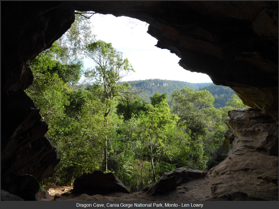
Ecological & Recreational Context
The surrounding catchment of Cania also supports diverse local flora and fauna. During periods of healthy water levels, the area often sees an increase in recreational activities such as fishing, boating, and camping. However, environmental flow releases must be carefully balanced to protect downstream river health.
Current Weather & Evaporation Impact
Current local temperatures are sitting at a moderate 16°C. With 0mm of recent rainfall and clear sky skies, the catchment is relatively dry today.
Future Outlook & Monitoring
The Bureau of Meteorology's climate outlooks will play a pivotal role in predicting the future inflows for this catchment. Continuous telemetry and advanced hydrological modeling are employed to forecast storage changes. Given the unpredictable nature of Australia's climate, from La Niña flooding to El Niño droughts, maintaining a dynamic operational strategy for Cania is absolutely essential.