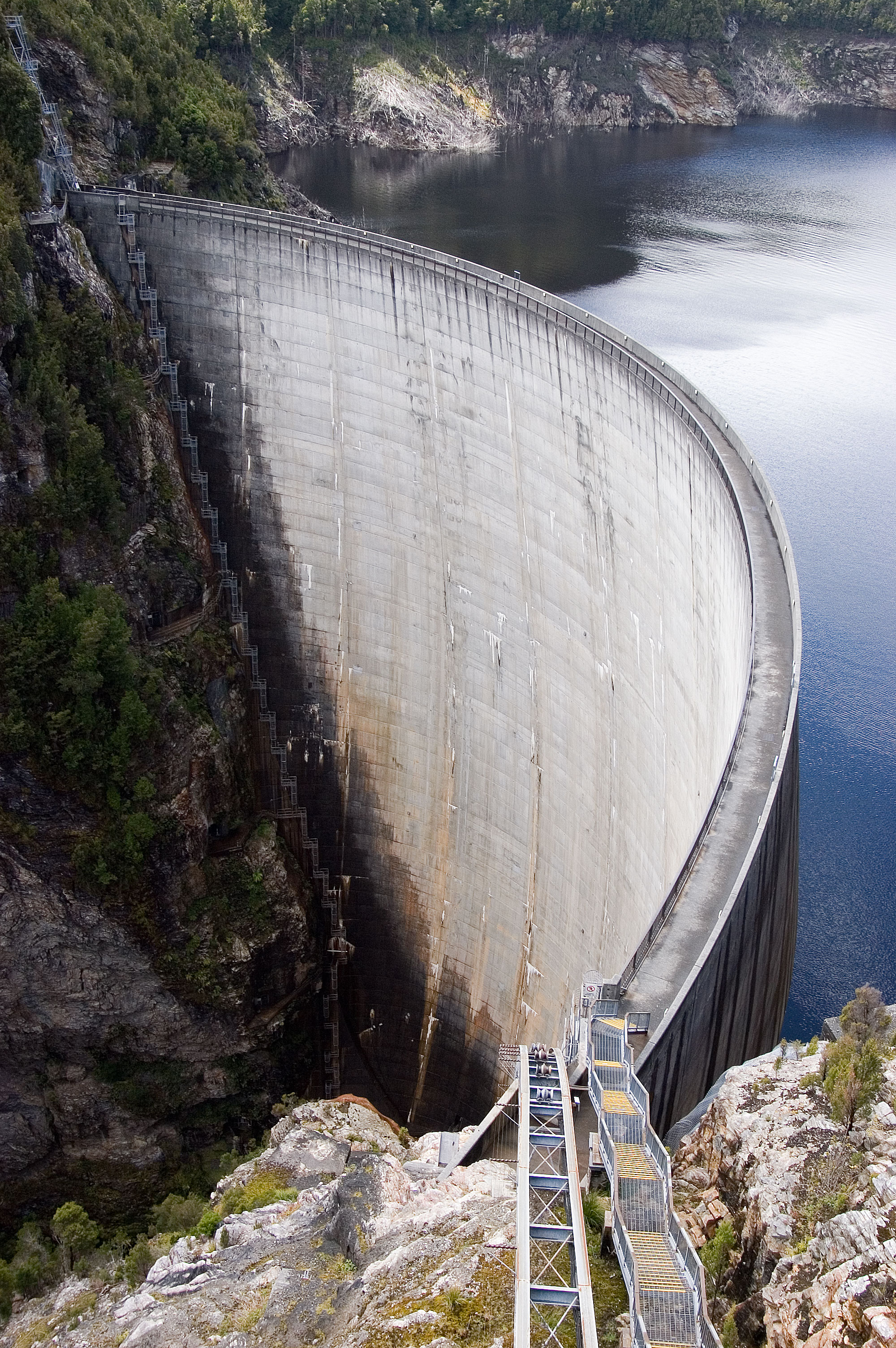
Water Level Analysis
The storage situation at West Gellibrand Reservoir remains highly stable. With a current fill rate of 89.6%, the reservoir contains 2 GL. This indicates a very comfortable buffer for the upcoming dry seasons.
Catchment & Hydrological Impact
The Gellibrand River acts as the primary lifeblood for West Gellibrand Reservoir, making it a cornerstone of the South East Coast (Victoria) network. Managing the flow from the Gellibrand River ensures that downstream agricultural zones receive consistent supply. The South East Coast (Victoria) region relies heavily on the seasonal inflows captured here.
Agricultural & Economic Significance
Agriculture in the surrounding areas of Victoria depends heavily on the water security provided by West Gellibrand Reservoir. Farmers and agribusinesses monitor these levels closely to plan their seasonal crop yields. Sustainable water management here ensures that both crops and livestock can survive prolonged dry spells.
Ecological & Recreational Context
Ecologically, the reservoir and its immediate wetlands serve as a crucial habitat for native Australian wildlife. When capacity allows, West Gellibrand Reservoir becomes a hub for regional tourism and water sports. Authorities must constantly balance the need for human water consumption with the ecological necessity of maintaining healthy river systems downstream.
Current Weather & Evaporation Impact
With a mild reading of 12°C today, surface evaporation is significantly reduced, helping to preserve current volume. The recorded precipitation of 0.1mm indicates active rainfall in the catchment, which is excellent news for inflows.
Future Outlook & Monitoring
Looking ahead, the trajectory of West Gellibrand Reservoir's water levels will depend heavily on upcoming seasonal rainfall patterns. Continuous telemetry and advanced hydrological modeling are employed to forecast storage changes. Given the unpredictable nature of Australia's climate, from La Niña flooding to El Niño droughts, maintaining a dynamic operational strategy for West Gellibrand Reservoir is absolutely essential.