Real-Time Dam Levels
Across Australia

Track water storage, capacity and historical trends for major reservoirs in New South Wales, Victoria, Queensland and beyond.

57.3% National average
303 Dams tracked
87,729 GL Total capacity
06 Jun 2026 Last Updated
Upper Yarra Water Level

Upper Yarra Water Level

Victoria · Melbourne
Reviewed by Water Resources Analyst
Hydrological Summary: Upper Yarra currently stores 50.5% of its total 205 GL capacity. Located in VIC and operated by Melbourne Water, it is a critical water source for regional supply and irrigation.
Data officially sourced and updated from Victoria water authorities. Last dataset update: 2026-06-03 08:00:00
Current Storage Level 50.5%
Total Capacity
205 GL
Status
Normal / Safe
Operator
Melbourne Water
Last Updated
03 Jun 2026
Live Weather
10°C Partly cloudy
Rain: 0mm | Hum: 96%

Water Level Analysis

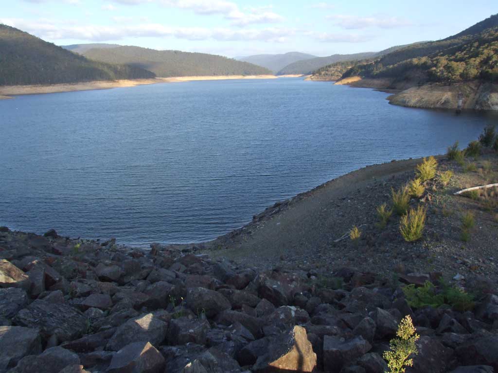
Storage levels at Upper Yarra are within moderate seasonal bounds. The current reading shows the reservoir at 50.5%, translating to 205 GL. This represents a typical midpoint for the region's hydrological cycle.

Catchment & Hydrological Impact

Fed primarily by the Upper Yarra River, this reservoir plays a critical role in the South East Coast (Victoria) drainage division. Hydrological health in this specific drainage basin is vital for downstream ecosystems. The South East Coast (Victoria) region relies heavily on the seasonal inflows captured here.

Agricultural & Economic Significance

Agriculture in the surrounding areas of Victoria depends heavily on the water security provided by Upper Yarra. Farmers and agribusinesses monitor these levels closely to plan their seasonal crop yields. Sustainable water management here ensures that both crops and livestock can survive prolonged dry spells.

Ecological & Recreational Context

Ecologically, the reservoir and its immediate wetlands serve as a crucial habitat for native Australian wildlife. During periods of healthy water levels, the area often sees an increase in recreational activities such as fishing, boating, and camping. However, environmental flow releases must be carefully balanced to protect downstream river health.

Current Weather & Evaporation Impact

Cooler current temperatures of 10°C help minimize evaporation losses across the reservoir. Under current partly cloudy weather, there is no direct rainfall contributing to the immediate storage levels.

Future Outlook & Monitoring

Looking ahead, the trajectory of Upper Yarra's water levels will depend heavily on upcoming seasonal rainfall patterns. State water authorities utilize highly sophisticated monitoring tools to ensure every drop is accounted for. Resilience against extreme weather events remains the ultimate goal for the managers of this critical infrastructure.

Location Map

Frequently Asked Questions

What is the current water level of Upper Yarra?
As of the latest official reading, the water level at Upper Yarra is at 50.5% of its total capacity.
Is Upper Yarra currently full?
It is partially full, currently holding steady at 50.5%.
What is the maximum water capacity of Upper Yarra?
When completely full (100%), Upper Yarra can hold up to 205 Gigalitres (GL) of water.
Where is Upper Yarra located?
This reservoir is a critical water storage facility located in the state of Victoria, Australia.
How does the water level at Upper Yarra affect local agriculture?
Water levels dictate the irrigation allocations for surrounding farmlands. A healthy level of 50.5% ensures that local farmers have the necessary water security for their seasonal crops and livestock.
Who manages the data for Upper Yarra?
The data is sourced from official government authorities including the Bureau of Meteorology (BOM) and specific state water utilities.

Nearby Dams in Victoria

Largest Reservoirs in Victoria

Latest Water & Drought News

← Back to all dams