Real-Time Dam Levels
Across Australia

Track water storage, capacity and historical trends for major reservoirs in New South Wales, Victoria, Queensland and beyond.

57.3% National average
303 Dams tracked
87,729 GL Total capacity
06 Jun 2026 Last Updated
Upper Stony Creek No. 3 Water Level

Upper Stony Creek No. 3 Water Level

Victoria · Unknown
Reviewed by Water Resources Analyst
Hydrological Summary: Upper Stony Creek No. 3 currently stores 53.4% of its total 4 GL capacity. Located in VIC and operated by Barwon Water, it is a critical water source for regional supply and irrigation.
Data officially sourced and updated from Victoria water authorities. Last dataset update: 2026-06-03 00:00:00
Current Storage Level 53.4%
Total Capacity
4 GL
Status
Normal / Safe
Operator
Barwon Water
Last Updated
03 Jun 2026
Live Weather
14°C Partly cloudy
Rain: 0mm | Hum: 68%

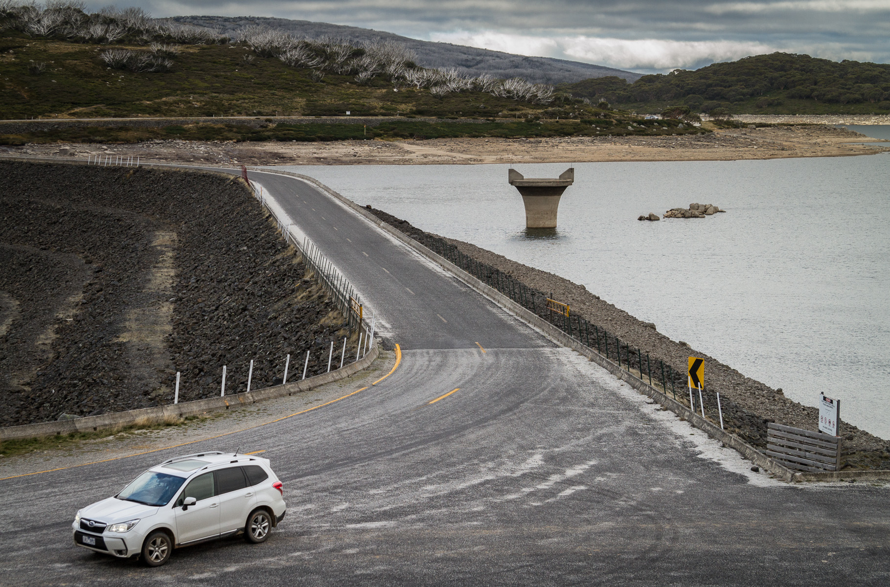
Water Level Analysis

Upper Stony Creek No. 3 is currently exhibiting average water retention levels. The current reading shows the reservoir at 53.4%, translating to 4 GL. This represents a typical midpoint for the region's hydrological cycle.

Catchment & Hydrological Impact

Fed primarily by the Upper Stony Creek, this reservoir plays a critical role in the South East Coast (Victoria) drainage division. Hydrological health in this specific drainage basin is vital for downstream ecosystems. The South East Coast (Victoria) region relies heavily on the seasonal inflows captured here.

Agricultural & Economic Significance

Agriculture in the surrounding areas of Victoria depends heavily on the water security provided by Upper Stony Creek No. 3. The local economy, heavily rooted in agriculture, fluctuates in tandem with the health of this reservoir. Sustainable water management here ensures that both crops and livestock can survive prolonged dry spells.

Ecological & Recreational Context

The surrounding catchment of Upper Stony Creek No. 3 also supports diverse local flora and fauna. During periods of healthy water levels, the area often sees an increase in recreational activities such as fishing, boating, and camping. However, environmental flow releases must be carefully balanced to protect downstream river health.

Current Weather & Evaporation Impact

With a mild reading of 14°C today, surface evaporation is significantly reduced, helping to preserve current volume. With 0mm of recent rainfall and partly cloudy skies, the catchment is relatively dry today.

Future Outlook & Monitoring

The Bureau of Meteorology's climate outlooks will play a pivotal role in predicting the future inflows for this catchment. Continuous telemetry and advanced hydrological modeling are employed to forecast storage changes. Given the unpredictable nature of Australia's climate, from La Niña flooding to El Niño droughts, maintaining a dynamic operational strategy for Upper Stony Creek No. 3 is absolutely essential.

Location Map

Frequently Asked Questions

What is the current water level of Upper Stony Creek No. 3?
As of the latest official reading, the water level at Upper Stony Creek No. 3 is at 53.4% of its total capacity.
Is Upper Stony Creek No. 3 currently full?
It is partially full, currently holding steady at 53.4%.
What is the maximum water capacity of Upper Stony Creek No. 3?
When completely full (100%), Upper Stony Creek No. 3 can hold up to 4 Gigalitres (GL) of water.
Where is Upper Stony Creek No. 3 located?
This reservoir is a critical water storage facility located in the state of Victoria, Australia.
How does the water level at Upper Stony Creek No. 3 affect local agriculture?
Water levels dictate the irrigation allocations for surrounding farmlands. A healthy level of 53.4% ensures that local farmers have the necessary water security for their seasonal crops and livestock.
Who manages the data for Upper Stony Creek No. 3?
The data is sourced from official government authorities including the Bureau of Meteorology (BOM) and specific state water utilities.

Nearby Dams in Victoria

Largest Reservoirs in Victoria

Latest Water & Drought News

← Back to all dams