Water Level Analysis
Water levels at Toolondo Reservoir are noticeably below historical averages. With the reservoir sitting at just 21.3%, the total available volume is 51 GL. Drought conditions appear to be heavily impacting this specific catchment area.
Catchment & Hydrological Impact
Fed primarily by the Off-stream, this reservoir plays a critical role in the Murray-Darling Basin drainage division. Hydrological health in this specific drainage basin is vital for downstream ecosystems. Catchment dynamics in the Murray-Darling Basin are deeply influenced by the retention capacity of Toolondo Reservoir.
Agricultural & Economic Significance
Agriculture in the surrounding areas of Victoria depends heavily on the water security provided by Toolondo Reservoir. The local economy, heavily rooted in agriculture, fluctuates in tandem with the health of this reservoir. Sustainable water management here ensures that both crops and livestock can survive prolonged dry spells.
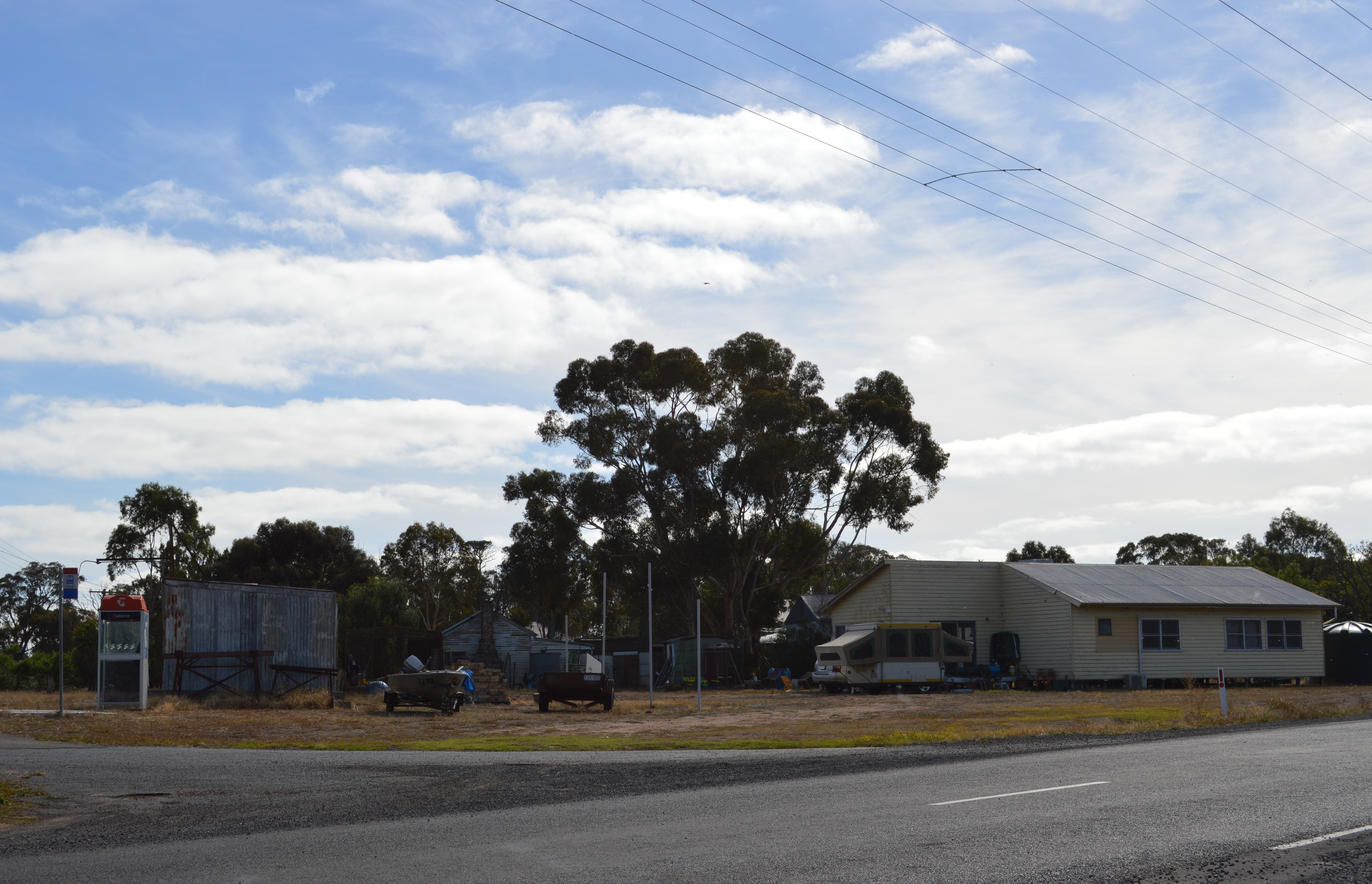
Ecological & Recreational Context
The surrounding catchment of Toolondo Reservoir also supports diverse local flora and fauna. During periods of healthy water levels, the area often sees an increase in recreational activities such as fishing, boating, and camping. Authorities must constantly balance the need for human water consumption with the ecological necessity of maintaining healthy river systems downstream.
Current Weather & Evaporation Impact
Cooler current temperatures of 15°C help minimize evaporation losses across the reservoir. Under current partly cloudy weather, there is no direct rainfall contributing to the immediate storage levels.
Future Outlook & Monitoring
The Bureau of Meteorology's climate outlooks will play a pivotal role in predicting the future inflows for this catchment. State water authorities utilize highly sophisticated monitoring tools to ensure every drop is accounted for. Given the unpredictable nature of Australia's climate, from La Niña flooding to El Niño droughts, maintaining a dynamic operational strategy for Toolondo Reservoir is absolutely essential.