Water Level Analysis
Nil Gully Reservoir is currently facing severe depletion. Sitting at a mere 0.8% of its 0 GL total capacity, extreme conservation measures may be required. Extended drought conditions or lack of significant inflows into the catchment are likely the primary drivers of this severe depletion.
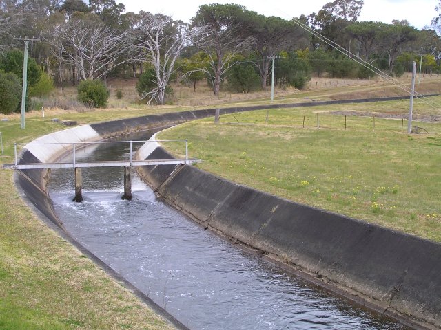
Catchment & Hydrological Impact
The Off-stream acts as the primary lifeblood for Nil Gully Reservoir, making it a cornerstone of the Murray-Darling Basin network. Managing the flow from the Off-stream ensures that downstream agricultural zones receive consistent supply. The Murray-Darling Basin region relies heavily on the seasonal inflows captured here.
Agricultural & Economic Significance
Beyond standard municipal supply, Nil Gully Reservoir is a vital asset for the regional agricultural economy in Victoria. Farmers and agribusinesses monitor these levels closely to plan their seasonal crop yields. Sustainable water management here ensures that both crops and livestock can survive prolonged dry spells.
Ecological & Recreational Context
The surrounding catchment of Nil Gully Reservoir also supports diverse local flora and fauna. During periods of healthy water levels, the area often sees an increase in recreational activities such as fishing, boating, and camping. Authorities must constantly balance the need for human water consumption with the ecological necessity of maintaining healthy river systems downstream.
Current Weather & Evaporation Impact
Cooler current temperatures of 12°C help minimize evaporation losses across the reservoir. Currently experiencing partly cloudy conditions with no immediate precipitation, inflows remain entirely dependent on upstream river movement.
Future Outlook & Monitoring
The Bureau of Meteorology's climate outlooks will play a pivotal role in predicting the future inflows for this catchment. Continuous telemetry and advanced hydrological modeling are employed to forecast storage changes. Resilience against extreme weather events remains the ultimate goal for the managers of this critical infrastructure.