Real-Time Dam Levels
Across Australia

Track water storage, capacity and historical trends for major reservoirs in New South Wales, Victoria, Queensland and beyond.

57.3% National average
303 Dams tracked
87,729 GL Total capacity
06 Jun 2026 Last Updated
Murray 2 Pondage Water Level

Murray 2 Pondage Water Level

New South Wales · Unknown
Reviewed by Water Resources Analyst
Hydrological Summary: Murray 2 Pondage currently stores 67.3% of its total 2 GL capacity. Located in NSW and operated by Snowy Hydro Limited, it is a critical water source for regional supply and irrigation.
Data officially sourced and updated from New South Wales water authorities. Last dataset update: 2026-03-23 00:00:00
Current Storage Level 67.3%
Total Capacity
2 GL
Status
Normal / Safe
Operator
Snowy Hydro Limited
Last Updated
23 Mar 2026
Live Weather
11°C Partly cloudy
Rain: 0mm | Hum: 68%

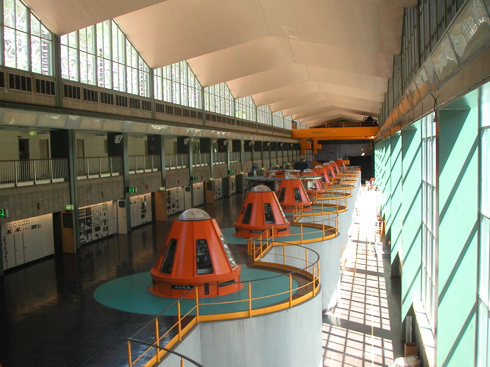
Water Level Analysis

Murray 2 Pondage is currently exhibiting average water retention levels. Sitting at 67.3%, the total stored volume is 2 GL. This represents a typical midpoint for the region's hydrological cycle.

Catchment & Hydrological Impact

The Khancoban Back Creek acts as the primary lifeblood for Murray 2 Pondage, making it a cornerstone of the Murray-Darling Basin network. Hydrological health in this specific drainage basin is vital for downstream ecosystems. Catchment dynamics in the Murray-Darling Basin are deeply influenced by the retention capacity of Murray 2 Pondage.

Agricultural & Economic Significance

Agriculture in the surrounding areas of New South Wales depends heavily on the water security provided by Murray 2 Pondage. Irrigation allocations are directly tied to these storage metrics. Without the buffer provided by this massive 2 GL storage, regional farming would face extreme volatility.

Ecological & Recreational Context

The surrounding catchment of Murray 2 Pondage also supports diverse local flora and fauna. During periods of healthy water levels, the area often sees an increase in recreational activities such as fishing, boating, and camping. However, environmental flow releases must be carefully balanced to protect downstream river health.

Current Weather & Evaporation Impact

With a mild reading of 11°C today, surface evaporation is significantly reduced, helping to preserve current volume. Under current partly cloudy weather, there is no direct rainfall contributing to the immediate storage levels.

Future Outlook & Monitoring

Looking ahead, the trajectory of Murray 2 Pondage's water levels will depend heavily on upcoming seasonal rainfall patterns. Continuous telemetry and advanced hydrological modeling are employed to forecast storage changes. Resilience against extreme weather events remains the ultimate goal for the managers of this critical infrastructure.

Location Map

Frequently Asked Questions

What is the current water level of Murray 2 Pondage?
As of the latest official reading, the water level at Murray 2 Pondage is at 67.3% of its total capacity.
Is Murray 2 Pondage currently full?
It is partially full, currently holding steady at 67.3%.
What is the maximum water capacity of Murray 2 Pondage?
When completely full (100%), Murray 2 Pondage can hold up to 2 Gigalitres (GL) of water.
Where is Murray 2 Pondage located?
This reservoir is a critical water storage facility located in the state of New South Wales, Australia.
How does the water level at Murray 2 Pondage affect local agriculture?
Water levels dictate the irrigation allocations for surrounding farmlands. A healthy level of 67.3% ensures that local farmers have the necessary water security for their seasonal crops and livestock.
Who manages the data for Murray 2 Pondage?
The data is sourced from official government authorities including the Bureau of Meteorology (BOM) and specific state water utilities.

Nearby Dams in New South Wales

Largest Reservoirs in New South Wales

Latest Water & Drought News

← Back to all dams