Real-Time Dam Levels
Across Australia

Track water storage, capacity and historical trends for major reservoirs in New South Wales, Victoria, Queensland and beyond.

57.3% National average
303 Dams tracked
87,729 GL Total capacity
06 Jun 2026 Last Updated
Blowering Water Level

Blowering Water Level

New South Wales · Murrumbidgee
Reviewed by Water Resources Analyst
Hydrological Summary: Blowering currently stores 30.4% of its total 1,634 GL capacity. Located in NSW and operated by WaterNSW, it is a critical water source for regional supply and irrigation.
Data officially sourced and updated from New South Wales water authorities. Last dataset update: 2026-06-03 08:00:00
Current Storage Level 30.4%
Total Capacity
1,634 GL
Status
Normal / Safe
Operator
WaterNSW
Last Updated
03 Jun 2026
Live Weather
14°C Partly cloudy
Rain: 0mm | Hum: 58%

Water Level Analysis

Water levels at Blowering are noticeably below historical averages. With the reservoir sitting at just 30.4%, the total available volume is 1,634 GL. Drought conditions appear to be heavily impacting this specific catchment area.

Agricultural & Economic Significance

Beyond standard municipal supply, Blowering is a vital asset for the regional agricultural economy in New South Wales. The local economy, heavily rooted in agriculture, fluctuates in tandem with the health of this reservoir. Without the buffer provided by this massive 1,634 GL storage, regional farming would face extreme volatility.

Ecological & Recreational Context

Ecologically, the reservoir and its immediate wetlands serve as a crucial habitat for native Australian wildlife. During periods of healthy water levels, the area often sees an increase in recreational activities such as fishing, boating, and camping. However, environmental flow releases must be carefully balanced to protect downstream river health.

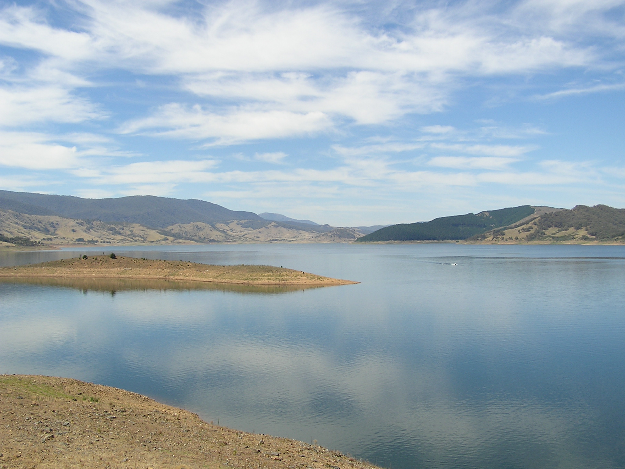
Current Weather & Evaporation Impact

Cooler current temperatures of 14°C help minimize evaporation losses across the reservoir. Currently experiencing partly cloudy conditions with no immediate precipitation, inflows remain entirely dependent on upstream river movement.

Future Outlook & Monitoring

The Bureau of Meteorology's climate outlooks will play a pivotal role in predicting the future inflows for this catchment. Continuous telemetry and advanced hydrological modeling are employed to forecast storage changes. Given the unpredictable nature of Australia's climate, from La Niña flooding to El Niño droughts, maintaining a dynamic operational strategy for Blowering is absolutely essential.

Location Map

Frequently Asked Questions

What is the current water level of Blowering?
As of the latest official reading, the water level at Blowering is at 30.4% of its total capacity.
Is Blowering currently full?
No, it is currently experiencing low water levels at 30.4%.
What is the maximum water capacity of Blowering?
When completely full (100%), Blowering can hold up to 1,634 Gigalitres (GL) of water.
Where is Blowering located?
This reservoir is a critical water storage facility located in the state of New South Wales, Australia.
How does the water level at Blowering affect local agriculture?
Water levels dictate the irrigation allocations for surrounding farmlands. A healthy level of 30.4% ensures that local farmers have the necessary water security for their seasonal crops and livestock.
Who manages the data for Blowering?
The data is sourced from official government authorities including the Bureau of Meteorology (BOM) and specific state water utilities.

Nearby Dams in New South Wales

Largest Reservoirs in New South Wales

Latest Water & Drought News

← Back to all dams