Real-Time Dam Levels
Across Australia

Track water storage, capacity and historical trends for major reservoirs in New South Wales, Victoria, Queensland and beyond.

57.3% National average
303 Dams tracked
87,729 GL Total capacity
06 Jun 2026 Last Updated
Moochalabra Water Level

Moochalabra Water Level

Western Australia · Unknown
Reviewed by Water Resources Analyst
Hydrological Summary: Moochalabra currently stores 89.8% of its total 2 GL capacity. Located in WA and operated by Water Corporation, it is a critical water source for regional supply and irrigation.
Data officially sourced and updated from Western Australia water authorities. Last dataset update: 2026-05-01 02:00:00
Current Storage Level 89.8%
Total Capacity
2 GL
Status
Normal / Safe
Operator
Water Corporation
Last Updated
01 May 2026
Live Weather
29°C Partly cloudy
Rain: 0mm | Hum: 28%

Water Level Analysis

Moochalabra is currently maintaining very healthy storage levels. With a current fill rate of 89.8%, the reservoir contains 2 GL. The local water grid benefits significantly from this stable storage level.

Catchment & Hydrological Impact

Fed primarily by the Moochalabra Creek, this reservoir plays a critical role in the Tanami-Timor Sea Coast drainage division. Hydrological health in this specific drainage basin is vital for downstream ecosystems. Catchment dynamics in the Tanami-Timor Sea Coast are deeply influenced by the retention capacity of Moochalabra.

Agricultural & Economic Significance

Beyond standard municipal supply, Moochalabra is a vital asset for the regional agricultural economy in Western Australia. The local economy, heavily rooted in agriculture, fluctuates in tandem with the health of this reservoir. Sustainable water management here ensures that both crops and livestock can survive prolonged dry spells.

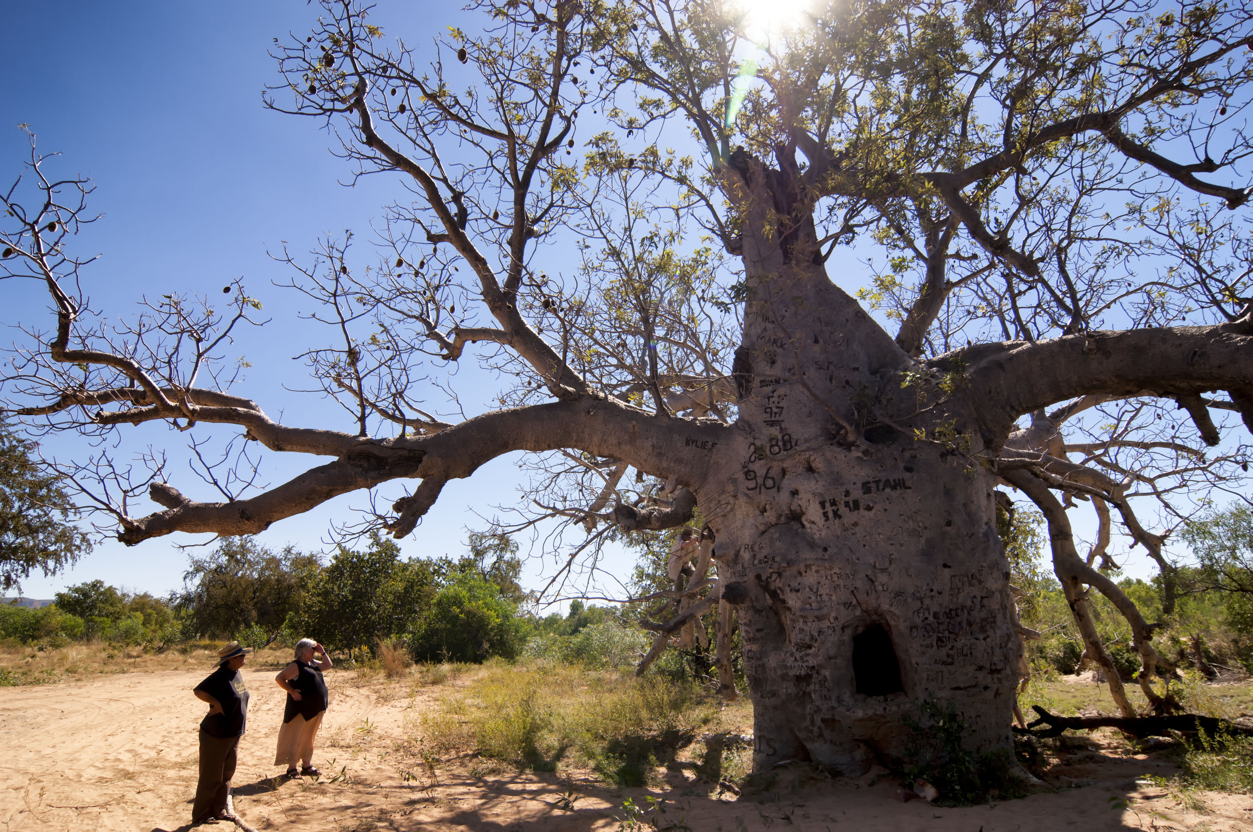
Ecological & Recreational Context

The surrounding catchment of Moochalabra also supports diverse local flora and fauna. When capacity allows, Moochalabra becomes a hub for regional tourism and water sports. However, environmental flow releases must be carefully balanced to protect downstream river health.

Current Weather & Evaporation Impact

Current local temperatures are sitting at a moderate 29°C. With 0mm of recent rainfall and partly cloudy skies, the catchment is relatively dry today.

Future Outlook & Monitoring

The Bureau of Meteorology's climate outlooks will play a pivotal role in predicting the future inflows for this catchment. State water authorities utilize highly sophisticated monitoring tools to ensure every drop is accounted for. Resilience against extreme weather events remains the ultimate goal for the managers of this critical infrastructure.

Location Map

Frequently Asked Questions

What is the current water level of Moochalabra?
As of the latest official reading, the water level at Moochalabra is at 89.8% of its total capacity.
Is Moochalabra currently full?
It is partially full, currently holding steady at 89.8%.
What is the maximum water capacity of Moochalabra?
When completely full (100%), Moochalabra can hold up to 2 Gigalitres (GL) of water.
Where is Moochalabra located?
This reservoir is a critical water storage facility located in the state of Western Australia, Australia.
How does the water level at Moochalabra affect local agriculture?
Water levels dictate the irrigation allocations for surrounding farmlands. A healthy level of 89.8% ensures that local farmers have the necessary water security for their seasonal crops and livestock.
Who manages the data for Moochalabra?
The data is sourced from official government authorities including the Bureau of Meteorology (BOM) and specific state water utilities.

Nearby Dams in Western Australia

Largest Reservoirs in Western Australia

Latest Water & Drought News

← Back to all dams