Real-Time Dam Levels
Across Australia

Track water storage, capacity and historical trends for major reservoirs in New South Wales, Victoria, Queensland and beyond.

57.3% National average
303 Dams tracked
87,729 GL Total capacity
06 Jun 2026 Last Updated
Wellington Water Level

Wellington Water Level

Western Australia · Harvey
Reviewed by Water Resources Analyst
Hydrological Summary: Wellington currently stores 35.5% of its total 185 GL capacity. Located in WA and operated by Water Corporation, it is a critical water source for regional supply and irrigation.
Data officially sourced and updated from Western Australia water authorities. Last dataset update: 2026-06-01 14:00:00
Current Storage Level 35.5%
Total Capacity
185 GL
Status
Normal / Safe
Operator
Water Corporation
Last Updated
01 Jun 2026
Live Weather
18°C Clear sky
Rain: 0mm | Hum: 52%

Water Level Analysis

The current volume at Wellington is running lower than standard operational thresholds. At 35.5%, the facility only holds 185 GL. This lower-than-average capacity may trigger preliminary water-saving advisories in Western Australia if dry conditions persist.

Catchment & Hydrological Impact

Fed primarily by the Collie River, this reservoir plays a critical role in the South West Coast drainage division. Hydrological health in this specific drainage basin is vital for downstream ecosystems. The South West Coast region relies heavily on the seasonal inflows captured here.

Agricultural & Economic Significance

Beyond standard municipal supply, Wellington is a vital asset for the regional agricultural economy in Western Australia. The local economy, heavily rooted in agriculture, fluctuates in tandem with the health of this reservoir. Without the buffer provided by this massive 185 GL storage, regional farming would face extreme volatility.

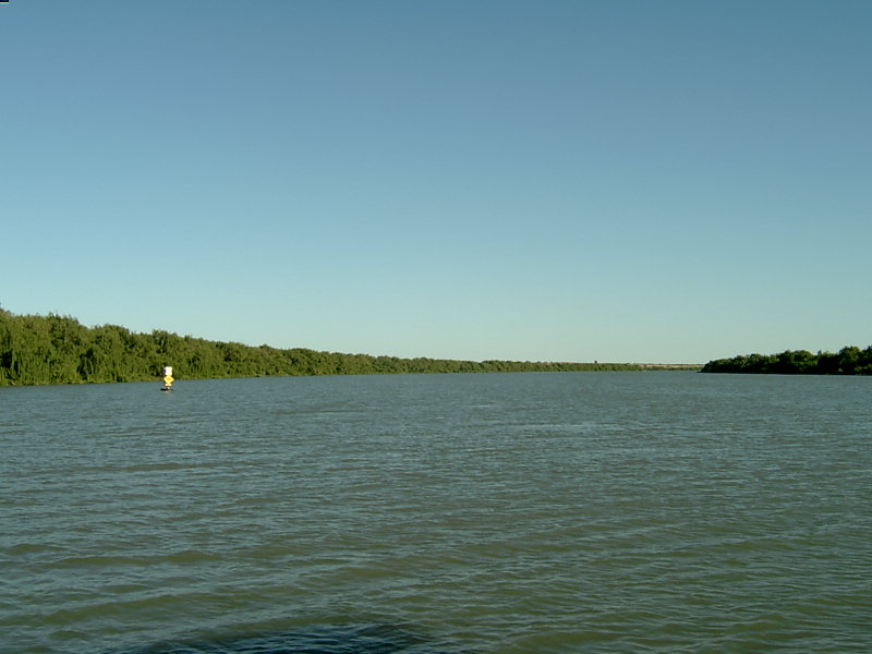
Ecological & Recreational Context

Ecologically, the reservoir and its immediate wetlands serve as a crucial habitat for native Australian wildlife. During periods of healthy water levels, the area often sees an increase in recreational activities such as fishing, boating, and camping. However, environmental flow releases must be carefully balanced to protect downstream river health.

Current Weather & Evaporation Impact

Current local temperatures are sitting at a moderate 18°C. With 0mm of recent rainfall and clear sky skies, the catchment is relatively dry today.

Future Outlook & Monitoring

The Bureau of Meteorology's climate outlooks will play a pivotal role in predicting the future inflows for this catchment. State water authorities utilize highly sophisticated monitoring tools to ensure every drop is accounted for. Given the unpredictable nature of Australia's climate, from La Niña flooding to El Niño droughts, maintaining a dynamic operational strategy for Wellington is absolutely essential.

Location Map

Frequently Asked Questions

What is the current water level of Wellington?
As of the latest official reading, the water level at Wellington is at 35.5% of its total capacity.
Is Wellington currently full?
No, it is currently experiencing low water levels at 35.5%.
What is the maximum water capacity of Wellington?
When completely full (100%), Wellington can hold up to 185 Gigalitres (GL) of water.
Where is Wellington located?
This reservoir is a critical water storage facility located in the state of Western Australia, Australia.
How does the water level at Wellington affect local agriculture?
Water levels dictate the irrigation allocations for surrounding farmlands. A healthy level of 35.5% ensures that local farmers have the necessary water security for their seasonal crops and livestock.
Who manages the data for Wellington?
The data is sourced from official government authorities including the Bureau of Meteorology (BOM) and specific state water utilities.

Nearby Dams in Western Australia

Largest Reservoirs in Western Australia

Latest Water & Drought News

← Back to all dams