Water Level Analysis
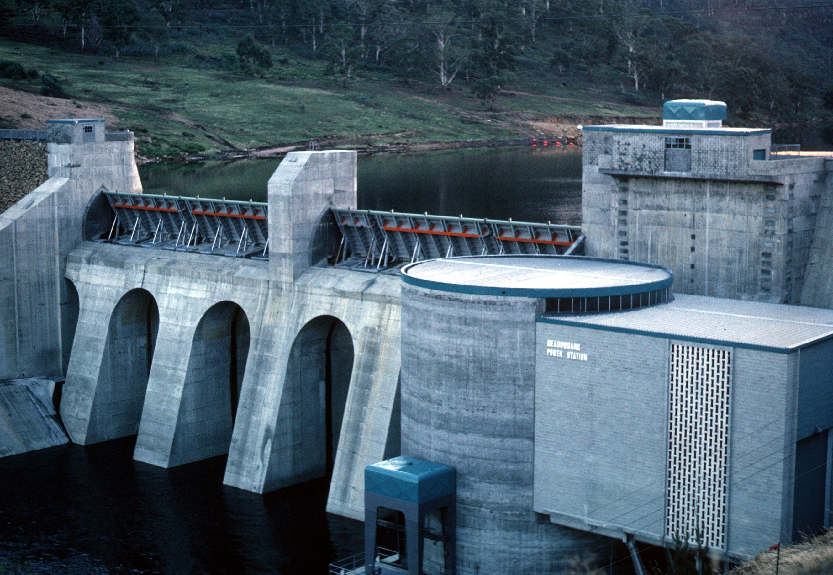
Reservoir storage at Lake Meadowbank is near full capacity. With current readings at 96.7%, the reservoir holds a robust 60 GL. This near-full status guarantees strong water availability for local communities and agriculture.
Catchment & Hydrological Impact
Fed primarily by the Derwent River, this reservoir plays a critical role in the Tasmania drainage division. Managing the flow from the Derwent River ensures that downstream agricultural zones receive consistent supply. The Tasmania region relies heavily on the seasonal inflows captured here.
Agricultural & Economic Significance
Agriculture in the surrounding areas of Tasmania depends heavily on the water security provided by Lake Meadowbank. Farmers and agribusinesses monitor these levels closely to plan their seasonal crop yields. Sustainable water management here ensures that both crops and livestock can survive prolonged dry spells.
Ecological & Recreational Context
Ecologically, the reservoir and its immediate wetlands serve as a crucial habitat for native Australian wildlife. During periods of healthy water levels, the area often sees an increase in recreational activities such as fishing, boating, and camping. Authorities must constantly balance the need for human water consumption with the ecological necessity of maintaining healthy river systems downstream.
Current Weather & Evaporation Impact
With a mild reading of 13°C today, surface evaporation is significantly reduced, helping to preserve current volume. Currently experiencing partly cloudy conditions with no immediate precipitation, inflows remain entirely dependent on upstream river movement.
Future Outlook & Monitoring
The Bureau of Meteorology's climate outlooks will play a pivotal role in predicting the future inflows for this catchment. Continuous telemetry and advanced hydrological modeling are employed to forecast storage changes. Given the unpredictable nature of Australia's climate, from La Niña flooding to El Niño droughts, maintaining a dynamic operational strategy for Lake Meadowbank is absolutely essential.