Real-Time Dam Levels
Across Australia

Track water storage, capacity and historical trends for major reservoirs in New South Wales, Victoria, Queensland and beyond.

57.3% National average
303 Dams tracked
87,729 GL Total capacity
06 Jun 2026 Last Updated
Lake Pedder Water Level

Lake Pedder Water Level

Tasmania · Gordon
Reviewed by Water Resources Analyst
Hydrological Summary: Lake Pedder currently stores 1.5% of its total 2,938 GL capacity. Located in TAS and operated by Hydro Tasmania, it is a critical water source for regional supply and irrigation.
Data officially sourced and updated from Tasmania water authorities. Last dataset update: 2026-06-02 00:00:00
Current Storage Level 1.5%
Total Capacity
2,938 GL
Status
Normal / Safe
Operator
Hydro Tasmania
Last Updated
02 Jun 2026
Live Weather
10°C Partly cloudy
Rain: 0mm | Hum: 68%

Water Level Analysis

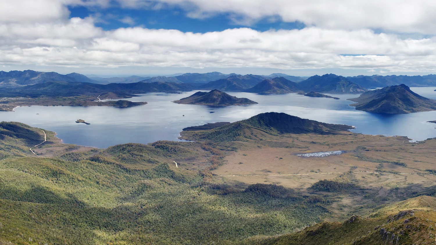
Lake Pedder is currently facing severe depletion. Currently at only 1.5% of its 2,938 GL capacity, the situation requires urgent monitoring. This critical shortage heavily impacts regional water security across Tasmania.

Agricultural & Economic Significance

Beyond standard municipal supply, Lake Pedder is a vital asset for the regional agricultural economy in Tasmania. Farmers and agribusinesses monitor these levels closely to plan their seasonal crop yields. Without the buffer provided by this massive 2,938 GL storage, regional farming would face extreme volatility.

Ecological & Recreational Context

Ecologically, the reservoir and its immediate wetlands serve as a crucial habitat for native Australian wildlife. During periods of healthy water levels, the area often sees an increase in recreational activities such as fishing, boating, and camping. Authorities must constantly balance the need for human water consumption with the ecological necessity of maintaining healthy river systems downstream.

Current Weather & Evaporation Impact

With a mild reading of 10°C today, surface evaporation is significantly reduced, helping to preserve current volume. With 0mm of recent rainfall and partly cloudy skies, the catchment is relatively dry today.

Future Outlook & Monitoring

Looking ahead, the trajectory of Lake Pedder's water levels will depend heavily on upcoming seasonal rainfall patterns. Continuous telemetry and advanced hydrological modeling are employed to forecast storage changes. Resilience against extreme weather events remains the ultimate goal for the managers of this critical infrastructure.

Location Map

Frequently Asked Questions

What is the current water level of Lake Pedder?
As of the latest official reading, the water level at Lake Pedder is at 1.5% of its total capacity.
Is Lake Pedder currently full?
No, it is currently experiencing low water levels at 1.5%.
What is the maximum water capacity of Lake Pedder?
When completely full (100%), Lake Pedder can hold up to 2,938 Gigalitres (GL) of water.
Where is Lake Pedder located?
This reservoir is a critical water storage facility located in the state of Tasmania, Australia.
How does the water level at Lake Pedder affect local agriculture?
Water levels dictate the irrigation allocations for surrounding farmlands. A healthy level of 1.5% ensures that local farmers have the necessary water security for their seasonal crops and livestock.
Who manages the data for Lake Pedder?
The data is sourced from official government authorities including the Bureau of Meteorology (BOM) and specific state water utilities.

Nearby Dams in Tasmania

Largest Reservoirs in Tasmania

Latest Water & Drought News

← Back to all dams