Real-Time Dam Levels
Across Australia

Track water storage, capacity and historical trends for major reservoirs in New South Wales, Victoria, Queensland and beyond.

57.3% National average
303 Dams tracked
87,729 GL Total capacity
06 Jun 2026 Last Updated
Jounama Pondage Water Level

Jounama Pondage Water Level

New South Wales · Unknown
Reviewed by Water Resources Analyst
Hydrological Summary: Jounama Pondage currently stores 70.8% of its total 44 GL capacity. Located in NSW and operated by Snowy Hydro Limited, it is a critical water source for regional supply and irrigation.
Data officially sourced and updated from New South Wales water authorities. Last dataset update: 2026-03-24 00:00:00
Current Storage Level 70.8%
Total Capacity
44 GL
Status
Normal / Safe
Operator
Snowy Hydro Limited
Last Updated
24 Mar 2026
Live Weather
14°C Partly cloudy
Rain: 0mm | Hum: 61%

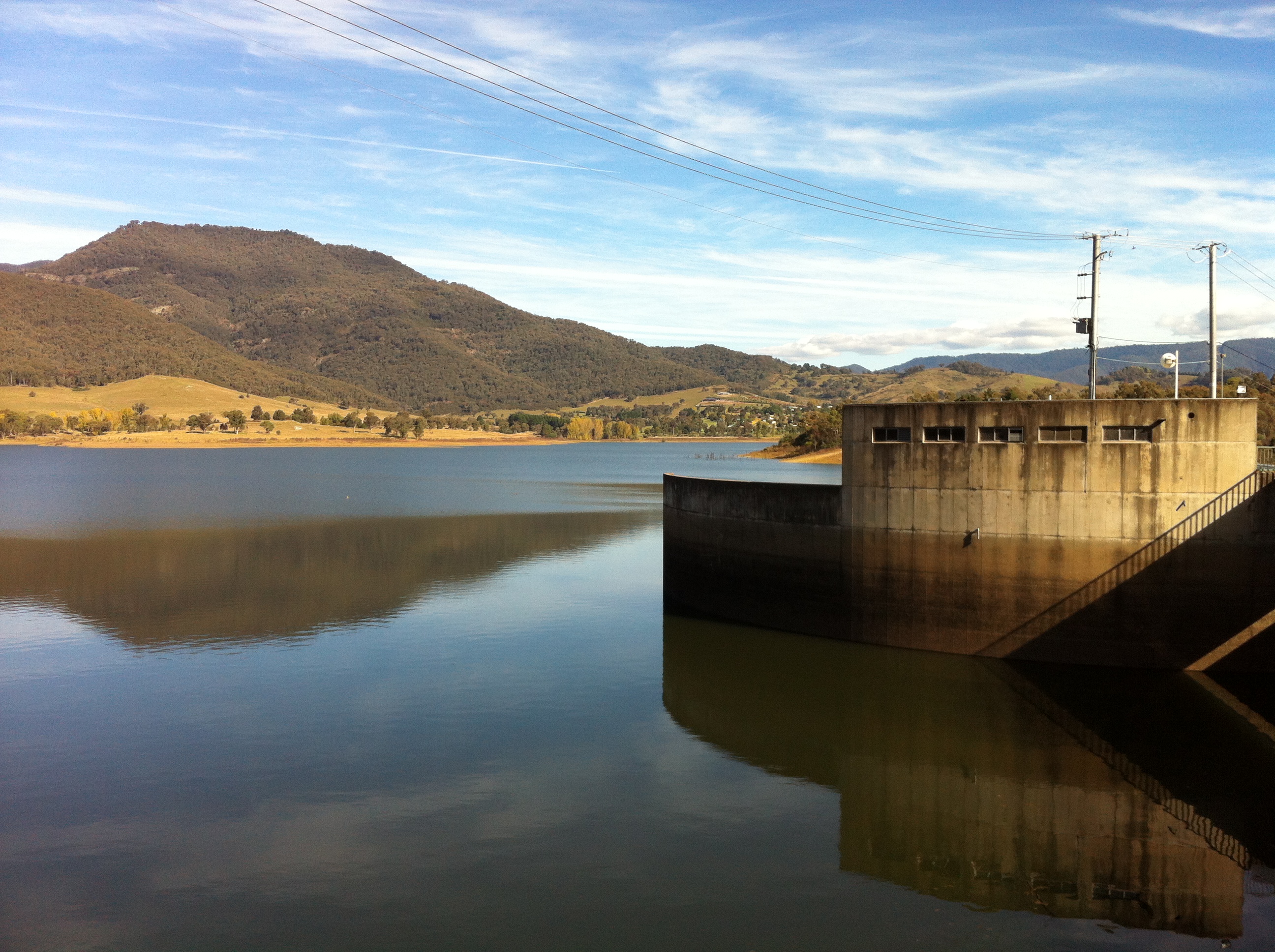
Water Level Analysis

Water levels at Jounama Pondage are well within positive historical averages. With a current fill rate of 70.8%, the reservoir contains 44 GL. The local water grid benefits significantly from this stable storage level.

Catchment & Hydrological Impact

Fed primarily by the Tumut River, this reservoir plays a critical role in the Murray-Darling Basin drainage division. Hydrological health in this specific drainage basin is vital for downstream ecosystems. The Murray-Darling Basin region relies heavily on the seasonal inflows captured here.

Agricultural & Economic Significance

Agriculture in the surrounding areas of New South Wales depends heavily on the water security provided by Jounama Pondage. Irrigation allocations are directly tied to these storage metrics. Without the buffer provided by this massive 44 GL storage, regional farming would face extreme volatility.

Ecological & Recreational Context

Ecologically, the reservoir and its immediate wetlands serve as a crucial habitat for native Australian wildlife. When capacity allows, Jounama Pondage becomes a hub for regional tourism and water sports. However, environmental flow releases must be carefully balanced to protect downstream river health.

Current Weather & Evaporation Impact

Cooler current temperatures of 14°C help minimize evaporation losses across the reservoir. Currently experiencing partly cloudy conditions with no immediate precipitation, inflows remain entirely dependent on upstream river movement.

Future Outlook & Monitoring

Looking ahead, the trajectory of Jounama Pondage's water levels will depend heavily on upcoming seasonal rainfall patterns. Continuous telemetry and advanced hydrological modeling are employed to forecast storage changes. Resilience against extreme weather events remains the ultimate goal for the managers of this critical infrastructure.

Location Map

Frequently Asked Questions

What is the current water level of Jounama Pondage?
As of the latest official reading, the water level at Jounama Pondage is at 70.8% of its total capacity.
Is Jounama Pondage currently full?
It is partially full, currently holding steady at 70.8%.
What is the maximum water capacity of Jounama Pondage?
When completely full (100%), Jounama Pondage can hold up to 44 Gigalitres (GL) of water.
Where is Jounama Pondage located?
This reservoir is a critical water storage facility located in the state of New South Wales, Australia.
How does the water level at Jounama Pondage affect local agriculture?
Water levels dictate the irrigation allocations for surrounding farmlands. A healthy level of 70.8% ensures that local farmers have the necessary water security for their seasonal crops and livestock.
Who manages the data for Jounama Pondage?
The data is sourced from official government authorities including the Bureau of Meteorology (BOM) and specific state water utilities.

Nearby Dams in New South Wales

Largest Reservoirs in New South Wales

Latest Water & Drought News

← Back to all dams