Real-Time Dam Levels
Across Australia

Track water storage, capacity and historical trends for major reservoirs in New South Wales, Victoria, Queensland and beyond.

57.3% National average
303 Dams tracked
87,729 GL Total capacity
06 Jun 2026 Last Updated
Glennies Creek Water Level

Glennies Creek Water Level

New South Wales · Hunter
Reviewed by Water Resources Analyst
Hydrological Summary: Glennies Creek currently stores 93.6% of its total 283 GL capacity. Located in NSW and operated by WaterNSW, it is a critical water source for regional supply and irrigation.
Data officially sourced and updated from New South Wales water authorities. Last dataset update: 2026-06-03 20:46:36
Current Storage Level 93.6%
Total Capacity
283 GL
Status
Normal / Safe
Operator
WaterNSW
Last Updated
03 Jun 2026
Live Weather
15°C Clear sky
Rain: 0mm | Hum: 52%

Water Level Analysis

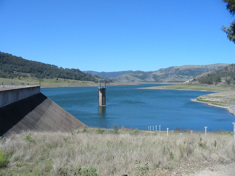
The storage situation at Glennies Creek remains highly stable. With a current fill rate of 93.6%, the reservoir contains 283 GL. This volume provides a solid foundation for both urban and agricultural demands across New South Wales.

Agricultural & Economic Significance

Agriculture in the surrounding areas of New South Wales depends heavily on the water security provided by Glennies Creek. The local economy, heavily rooted in agriculture, fluctuates in tandem with the health of this reservoir. Without the buffer provided by this massive 283 GL storage, regional farming would face extreme volatility.

Ecological & Recreational Context

The surrounding catchment of Glennies Creek also supports diverse local flora and fauna. When capacity allows, Glennies Creek becomes a hub for regional tourism and water sports. However, environmental flow releases must be carefully balanced to protect downstream river health.

Current Weather & Evaporation Impact

With a mild reading of 15°C today, surface evaporation is significantly reduced, helping to preserve current volume. Currently experiencing clear sky conditions with no immediate precipitation, inflows remain entirely dependent on upstream river movement.

Future Outlook & Monitoring

Looking ahead, the trajectory of Glennies Creek's water levels will depend heavily on upcoming seasonal rainfall patterns. State water authorities utilize highly sophisticated monitoring tools to ensure every drop is accounted for. Resilience against extreme weather events remains the ultimate goal for the managers of this critical infrastructure.

Location Map

Frequently Asked Questions

What is the current water level of Glennies Creek?
As of the latest official reading, the water level at Glennies Creek is at 93.6% of its total capacity.
Is Glennies Creek currently full?
It is partially full, currently holding steady at 93.6%.
What is the maximum water capacity of Glennies Creek?
When completely full (100%), Glennies Creek can hold up to 283 Gigalitres (GL) of water.
Where is Glennies Creek located?
This reservoir is a critical water storage facility located in the state of New South Wales, Australia.
How does the water level at Glennies Creek affect local agriculture?
Water levels dictate the irrigation allocations for surrounding farmlands. A healthy level of 93.6% ensures that local farmers have the necessary water security for their seasonal crops and livestock.
Who manages the data for Glennies Creek?
The data is sourced from official government authorities including the Bureau of Meteorology (BOM) and specific state water utilities.

Nearby Dams in New South Wales

Largest Reservoirs in New South Wales

Latest Water & Drought News

← Back to all dams