Real-Time Dam Levels
Across Australia

Track water storage, capacity and historical trends for major reservoirs in New South Wales, Victoria, Queensland and beyond.

57.3% National average
303 Dams tracked
87,729 GL Total capacity
06 Jun 2026 Last Updated
Geehi Reservoir Water Level

Geehi Reservoir Water Level

New South Wales · Unknown
Reviewed by Water Resources Analyst
Hydrological Summary: Geehi Reservoir currently stores 62.1% of its total 21 GL capacity. Located in NSW and operated by Snowy Hydro Limited, it is a critical water source for regional supply and irrigation.
Data officially sourced and updated from New South Wales water authorities. Last dataset update: 2026-03-11 00:00:00
Current Storage Level 62.1%
Total Capacity
21 GL
Status
Normal / Safe
Operator
Snowy Hydro Limited
Last Updated
11 Mar 2026
Live Weather
7°C Partly cloudy
Rain: 0mm | Hum: 74%

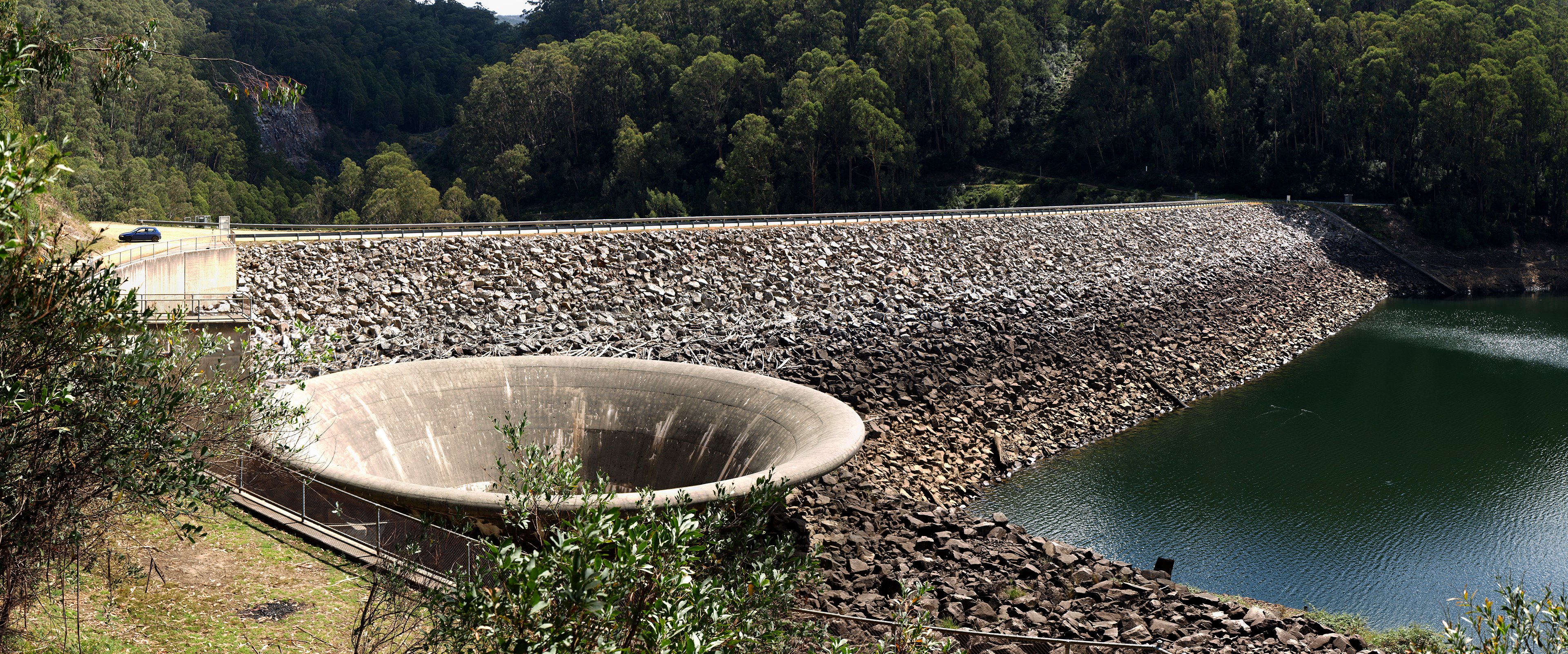
Water Level Analysis

Geehi Reservoir is currently exhibiting average water retention levels. The current reading shows the reservoir at 62.1%, translating to 21 GL. While adequate, continuous monitoring is standard procedure for this catchment.

Catchment & Hydrological Impact

Fed primarily by the McCallum Creek, this reservoir plays a critical role in the Murray-Darling Basin drainage division. Hydrological health in this specific drainage basin is vital for downstream ecosystems. The Murray-Darling Basin region relies heavily on the seasonal inflows captured here.

Agricultural & Economic Significance

Agriculture in the surrounding areas of New South Wales depends heavily on the water security provided by Geehi Reservoir. Farmers and agribusinesses monitor these levels closely to plan their seasonal crop yields. Without the buffer provided by this massive 21 GL storage, regional farming would face extreme volatility.

Ecological & Recreational Context

The surrounding catchment of Geehi Reservoir also supports diverse local flora and fauna. During periods of healthy water levels, the area often sees an increase in recreational activities such as fishing, boating, and camping. However, environmental flow releases must be carefully balanced to protect downstream river health.

Current Weather & Evaporation Impact

Cooler current temperatures of 7°C help minimize evaporation losses across the reservoir. With 0mm of recent rainfall and partly cloudy skies, the catchment is relatively dry today.

Future Outlook & Monitoring

Looking ahead, the trajectory of Geehi Reservoir's water levels will depend heavily on upcoming seasonal rainfall patterns. Continuous telemetry and advanced hydrological modeling are employed to forecast storage changes. Resilience against extreme weather events remains the ultimate goal for the managers of this critical infrastructure.

Location Map

Frequently Asked Questions

What is the current water level of Geehi Reservoir?
As of the latest official reading, the water level at Geehi Reservoir is at 62.1% of its total capacity.
Is Geehi Reservoir currently full?
It is partially full, currently holding steady at 62.1%.
What is the maximum water capacity of Geehi Reservoir?
When completely full (100%), Geehi Reservoir can hold up to 21 Gigalitres (GL) of water.
Where is Geehi Reservoir located?
This reservoir is a critical water storage facility located in the state of New South Wales, Australia.
How does the water level at Geehi Reservoir affect local agriculture?
Water levels dictate the irrigation allocations for surrounding farmlands. A healthy level of 62.1% ensures that local farmers have the necessary water security for their seasonal crops and livestock.
Who manages the data for Geehi Reservoir?
The data is sourced from official government authorities including the Bureau of Meteorology (BOM) and specific state water utilities.

Nearby Dams in New South Wales

Largest Reservoirs in New South Wales

Latest Water & Drought News

← Back to all dams