Real-Time Dam Levels
Across Australia

Track water storage, capacity and historical trends for major reservoirs in New South Wales, Victoria, Queensland and beyond.

57.3% National average
303 Dams tracked
87,729 GL Total capacity
06 Jun 2026 Last Updated
Lock 1 - Blanchetown Water Level

Lock 1 - Blanchetown Water Level

South Australia · Unknown
Reviewed by Water Resources Analyst
Hydrological Summary: Lock 1 - Blanchetown currently stores 49.9% of its total 57 GL capacity. Located in SA and operated by SA Water, it is a critical water source for regional supply and irrigation.
Data officially sourced and updated from South Australia water authorities. Last dataset update: 2026-06-04 12:35:00
Current Storage Level 49.9%
Total Capacity
57 GL
Status
Normal / Safe
Operator
SA Water
Last Updated
04 Jun 2026
Live Weather
17°C Clear sky
Rain: 0mm | Hum: 60%

Water Level Analysis

Water capacity at Lock 1 - Blanchetown is holding at moderate levels. The current reading shows the reservoir at 49.9%, translating to 57 GL. This represents a typical midpoint for the region's hydrological cycle.

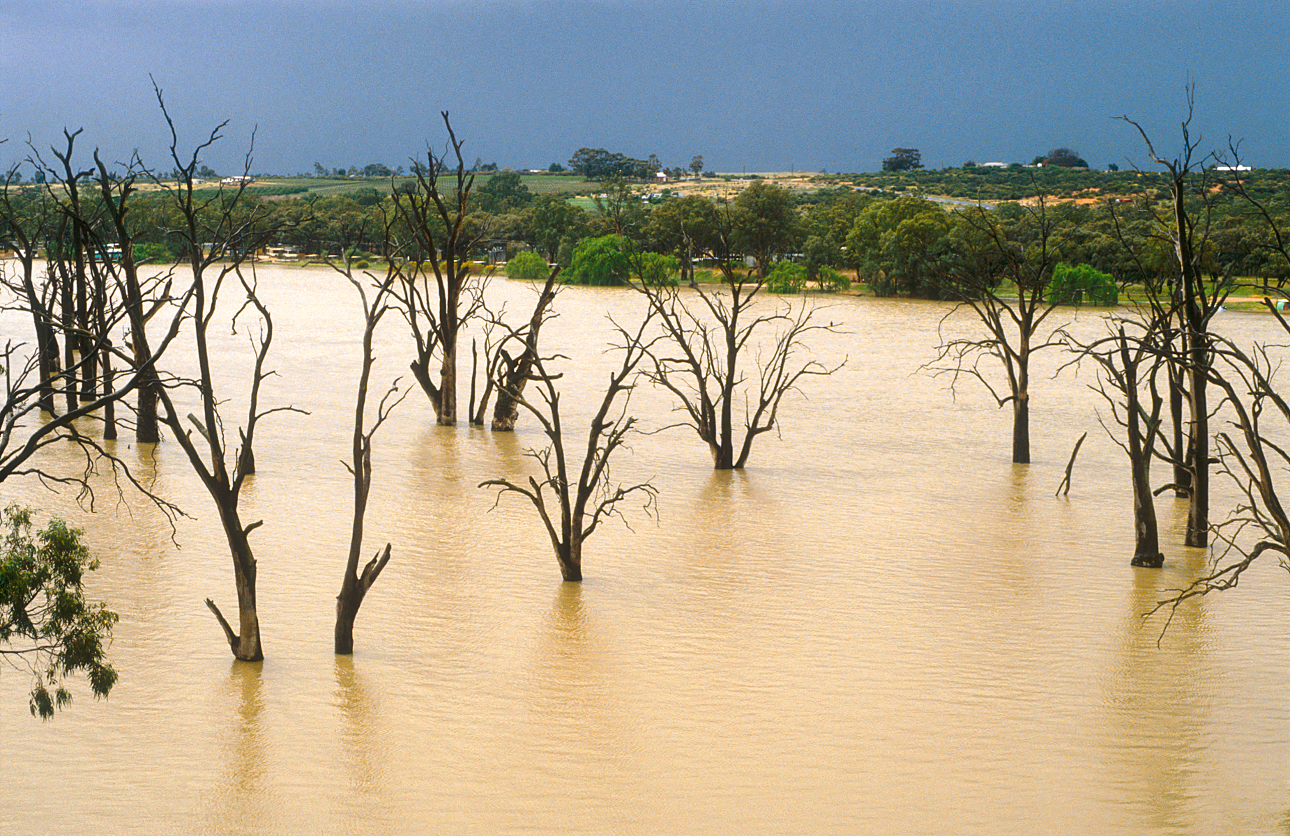
Catchment & Hydrological Impact

The River Murray acts as the primary lifeblood for Lock 1 - Blanchetown, making it a cornerstone of the Murray-Darling Basin network. Hydrological health in this specific drainage basin is vital for downstream ecosystems. Catchment dynamics in the Murray-Darling Basin are deeply influenced by the retention capacity of Lock 1 - Blanchetown.

Agricultural & Economic Significance

Beyond standard municipal supply, Lock 1 - Blanchetown is a vital asset for the regional agricultural economy in South Australia. Farmers and agribusinesses monitor these levels closely to plan their seasonal crop yields. Without the buffer provided by this massive 57 GL storage, regional farming would face extreme volatility.

Ecological & Recreational Context

The surrounding catchment of Lock 1 - Blanchetown also supports diverse local flora and fauna. When capacity allows, Lock 1 - Blanchetown becomes a hub for regional tourism and water sports. Authorities must constantly balance the need for human water consumption with the ecological necessity of maintaining healthy river systems downstream.

Current Weather & Evaporation Impact

The weather around the catchment is currently recording 17°C. Under current clear sky weather, there is no direct rainfall contributing to the immediate storage levels.

Future Outlook & Monitoring

The Bureau of Meteorology's climate outlooks will play a pivotal role in predicting the future inflows for this catchment. Continuous telemetry and advanced hydrological modeling are employed to forecast storage changes. Given the unpredictable nature of Australia's climate, from La Niña flooding to El Niño droughts, maintaining a dynamic operational strategy for Lock 1 - Blanchetown is absolutely essential.

Location Map

Frequently Asked Questions

What is the current water level of Lock 1 - Blanchetown?
As of the latest official reading, the water level at Lock 1 - Blanchetown is at 49.9% of its total capacity.
Is Lock 1 - Blanchetown currently full?
No, it is currently experiencing low water levels at 49.9%.
What is the maximum water capacity of Lock 1 - Blanchetown?
When completely full (100%), Lock 1 - Blanchetown can hold up to 57 Gigalitres (GL) of water.
Where is Lock 1 - Blanchetown located?
This reservoir is a critical water storage facility located in the state of South Australia, Australia.
How does the water level at Lock 1 - Blanchetown affect local agriculture?
Water levels dictate the irrigation allocations for surrounding farmlands. A healthy level of 49.9% ensures that local farmers have the necessary water security for their seasonal crops and livestock.
Who manages the data for Lock 1 - Blanchetown?
The data is sourced from official government authorities including the Bureau of Meteorology (BOM) and specific state water utilities.

Nearby Dams in South Australia

Largest Reservoirs in South Australia

Latest Water & Drought News

← Back to all dams